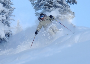
Blam! Vail powder day brings springtime in the Rockies
March 19, 2010 —
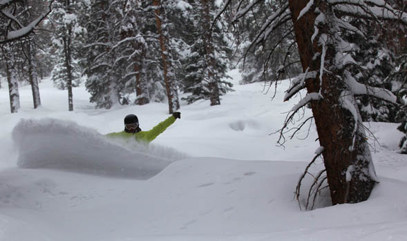
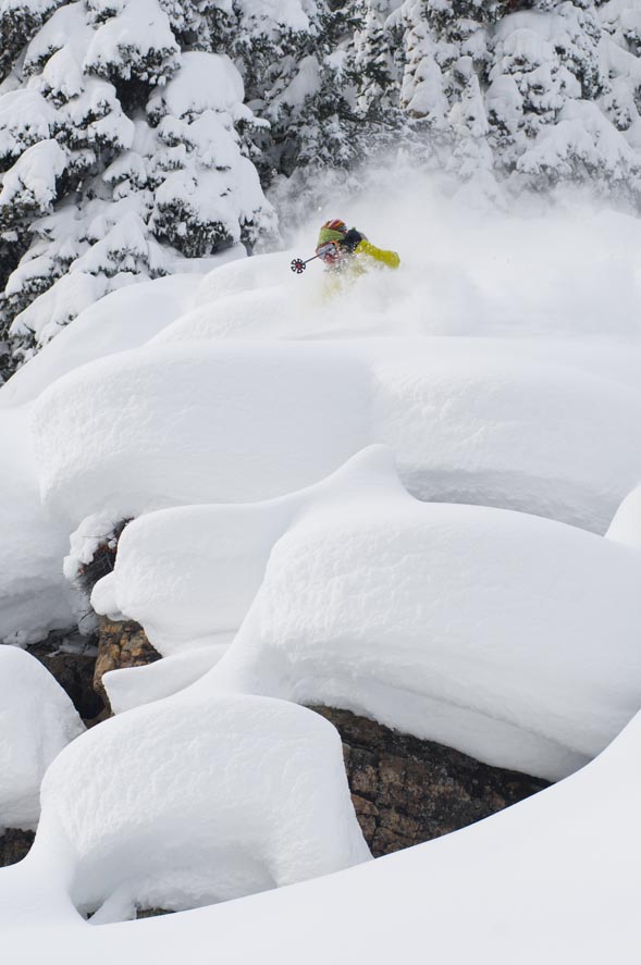
It’s happened again: warm weather has teased us into thinking spring is just around the corner then, BLAM! A cold winter storm moves into the mountains.
As of this morning, Friday March 19, Vail and Beaver Creek reported one inch of snow, but as I geared up my snow blower and cleared my driveway, another inch fell on top in just under 45 minutes. This gives me the sense that this storm is packing more of a punch than expected.
Snow will fall much of the day today and overnight into Saturday, March 20, as the last official day of winter should feel like winter. Expect morning totals for Saturday to range from 6-10 inches at both Vail and The Beav' with more deposited on the leeward slopes of the oncoming northwestern flow.
Saturday temps will be much colder than we have seen in some time with on mountain highs in the mid 20s and lows in the teens.
Winds will be out of the northwest at 15-20 mph with ridge top gusts into the 40 mph range. Skies will begin to clear mid-day Saturday with temps warming as a result.
Sunday March, 21 looks to be a great day on the hill as mostly sunny skies should persist through Tuesday March, 23.
Tuesday night into Wednesday we have another shot at snow, as springs arrival will bring winter like weather to the Western Slope. For now, enjoy at least one more good weekend on the hill as Saturday and Sunday should be eventful on and off the mountain.
Enjoy!
![]() 1 Comment on "Blam! Vail powder day brings springtime in the Rockies"
1 Comment on "Blam! Vail powder day brings springtime in the Rockies"
Bozzo — March 20, 2010
Smoke and mirrors?
![]() Submit and read more comments on "Blam! Vail powder day brings springtime in the Rockies" now!
Submit and read more comments on "Blam! Vail powder day brings springtime in the Rockies" now!
Mashed-potato spring has sprung in the Vail Valley
March 16, 2010 —
Spring has yet to ... well, spring. But with the recent time change, warm weather and spring break crowds, it sure seems like April already.
Weather this week will be pretty passive as high pressure has taken over the western half of the country, bringing with it calm winds, warm temps and great afternoon skiing.
It happens every year, usually a bit later, but skiing the "mashed potato" snow is here. With temps this whole week reaching well into the 50s down-valley, on-mountain temps should reach the upper 30s, with little wind and plenty of sunshine.
This is the time of year to ski the groomers in the morning and move to the south-facing slopes after noon (think Back Bowls) - maybe throw in a barbecue at P.H.Q. or the favorite Belle's Camp in Blue Sky Basin.
Yes, we may not see much snow for quite some time as the first day of spring arrives Sunday (although we are slated for winter weather this weekend, March 20-22). Ski season will slowly wane into bike, fish and golf season, leaving many pining for one last deep day before we hang up the boards.
Alas, we may not see that day here in the northern and central Rockies as El Niño has had a firm grip on the snow wand for much of the Western Slope, seeming to forget those spells that cast great amounts of white gold onto our hills.
We may have a chance at one last "great" storm in the coming weeks, but for now it seems that the Ice Queen, Ullr, Saint Eulalia of Meridia, and Old Man Winter have left for their own spring break.
Looks like they all met in the Northeast for some R&R.
Arggh!
![]() Submit a comment on "Mashed-potato spring has sprung in the Vail Valley"
Submit a comment on "Mashed-potato spring has sprung in the Vail Valley"
Time to get the bikes and clubs out?
March 12, 2010 —
A potentially good-looking storm pattern left most Colorado resorts craving more. Another bust.
Very light totals were recorded in the last 72 hours as Copper Mountain, Winter Park and Monarch all made out with around 10 inches. Vail and Beaver Creek rang in a measly 3 inches total, and with high pressure ridging in from the west, sunscreen instead of powder straps will be the norm.
Today, (Friday, March 12) abundant sunshine will raise temps well into the 30s on mountain with down-valley temps pushing the high 40s.
These temps will remain for Saturday, March 13, as cloudy skies will move in Sunday and we'll see another shot for snow. Winds will increase Sunday with the upcoming system, but they will be mild for much of the weekend.
Vail and Beaver Creek could see light totals, again around two to four inches.
As of now, it looks like this next system will impact the southwest, bringing snow to areas like Wolf Creek, Silverton, and Taos. Again, a typical pattern of an above average El Niño season.
For the northern resorts, it's time to get the bikes and clubs ready, as we may not see significant snow until early April. We'll keep our fingers crossed.
Enjoy!
![]() Submit a comment on "Time to get the bikes and clubs out?"
Submit a comment on "Time to get the bikes and clubs out?"
Increased winds from Northwest could bring bigger snow totals in Friday storm
March 9, 2010 —
It was a surprisingly good morning in the Vail Valley as unpredicted snowfall graced the mountains of Colorado with higher than expected snow totals.
Vail saw 4 inches this morning (Tuesday, March 9) and The Beav' reported 6. We have an active week ahead of us as numerous disturbances will move through the Western Slope over the next few days.
We had above average temps today as highs in the lower valleys were well into the 40s, and on-mountain temps rose into the 30s. This will be short lived as clouds will develop by this evening, with moderate snow showers likely by mid-day Wednesday March, 10.
Snow will continue through Wednesday, accumulating in the 2-4 inch range by nightfall. We should see a break in the action Wednesday night, as another deeper and stronger trough of pressure moves in by Thursday evening. Expect on-mountain temps in the low 20s with west winds in the 15-20 mph range. By Friday morning (March, 12) we could see big totals as orographics look favorable with good moisture and plenty of energy.
I'm forecasting low totals for now (4-8 inches) by Friday, however, if winds increase from the northwest we could see some big totals overall (8-14 by Friday). Finally some good news for the central and northern mountains as patient snow-riders may get what is coming to them. Keep close tabs here as I will update this blog via the comments box.
Enjoy!!
![]() 1 Comment on "Increased winds from Northwest could bring bigger snow totals in Friday storm"
1 Comment on "Increased winds from Northwest could bring bigger snow totals in Friday storm"
Powder Predictor — March 11, 2010
What a bummer, suppose we shouldn't expect anything more than what we've seen for 3 months, hope for 5 inches total.....bring on spring...I guess. Reid


