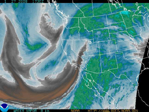
Satellite image courtesy of the National Weather Service
Locals rejoice – the next powder days will also be weekdays
January 27, 2008 — Moist, cold, and windy - this is what we can expect later on tonight through Tuesday morning. Once again the western half of the country is buckling down for unsettled weather for the next 48 hours.
Sorry Front Rangers, but the next powder days will be Monday and Tuesday. We have two different systems that will bring heavy amounts of snow to the region through early Tuesday morning. The first system will enter this evening (Sunday) and impact the southwestern part of the state. The second front will move into the state early Monday, directly on the heels of the first system.
This system will make its way from the north and impact the Northern and Central mountains. High winds and moderate snowfall will persist through Monday night in our valley bringing significant snowfall. Temperatures will be fairly mild with this storm as the origin of the moisture is from the south (tropical).
This system will make its way from the north and impact the Northern and Central mountains. High winds and moderate snowfall will persist through Monday night in our valley bringing significant snowfall. Temperatures will be fairly mild with this storm as the origin of the moisture is from the south (tropical).
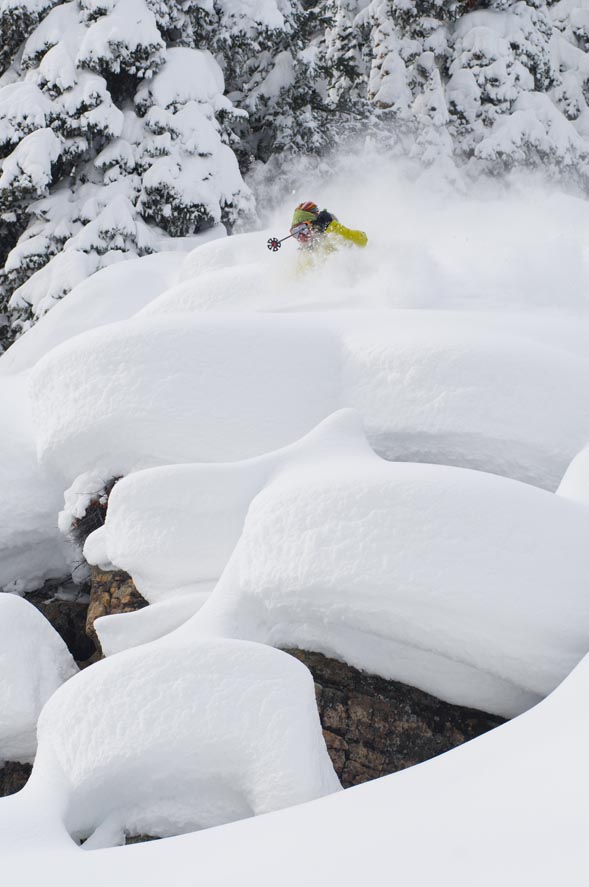
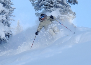
Expect temps to be in the low 20s on the hill and near 30 degrees at the base. Winds will be strong at times with gusts up to 40 mph. Winds on the hill will range from 10-20 mph throughout the day Monday. Snow totals will range from 4-7 inches by Monday morning and storm totals ranging from 8-16 inches by Tuesday morning. With winds blowing from the west and southwest, heavy snow could accumulate in Vail's Back Bowls making for a great powder day.
Areas like Windows, Widges, and Seldom could be epic.
Along with the Back Bowls, leeward sides of the mountain could see some deep, wind-loaded stashes accumulate as well. Don't forget about the Northeast Bowl on powder days, it can be amazing. I have added a link below from the National Weather Service that shows the water vapor of this storm. Please look at the KEY on the bottom right of the map, this will show you the moisture content of the storm: incredible!
Happy snow-riding, and remember, breathe out when the snow hits you in the face and breathe in when you transition from your turn.
http://www.weather.gov/sat_tab.php?image=wv
![]() Comment on "Locals rejoice – the next powder days will also be weekdays" using the form below
Comment on "Locals rejoice – the next powder days will also be weekdays" using the form below


