More than a foot of snow expected at higher elevations in Vail Thursday into Friday
November 12, 2009 —
Mid-week is here and our first shot at significant snowfall is headed our way.
Southwest flow aloft will keep temps mild through Thursday as a cold front will move south early Friday morning, bringing with it strong northwest winds and cooling temps.
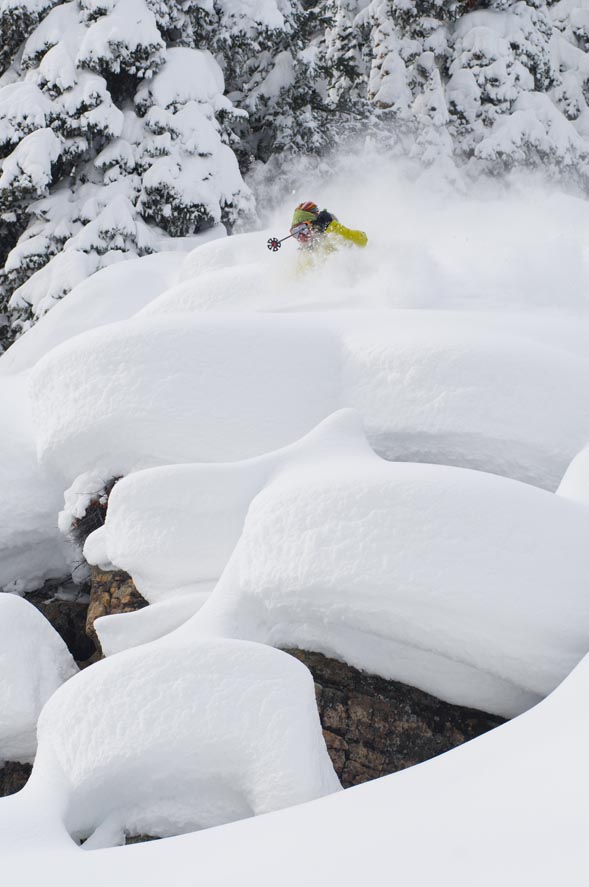
Friday night looks to be the night that we should see big flakes falling, with snow totals ranging from 4 to 8 inches around most of the Vail Valley, but more than a foot is expected at 10,000 feet and above.
A great storm to get the resorts going as opening day at Vail is only a week away (Vail opens Friday, Nov. 20, and Beaver Creek opens Wednesday, Nov. 25). Look for this storm to move out by Saturday afternoon with cold temps to follow.
The San Juan Mountains have a great chance of picking up big totals as another weak low pressure system moves through early Saturday, giving them additional snow and higher totals.
Overall, this storm looks promising, with all Colorado resorts benefiting.
![]() 2 Comments on "More than a foot of snow expected at higher elevations in Vail Thursday into Friday"
2 Comments on "More than a foot of snow expected at higher elevations in Vail Thursday into Friday"
Regina — November 13, 2009
You're timing estimates are right on....now let's see about the overnight totals!
Tom — November 13, 2009
I planned my weekend elk hunt around your forecast Reid, and so far so good!


