By Reid Griebling
Up to a foot of new snow expected for Vail Valley by Monday morning
December 13, 2009 —
Another active 36 hours ahead for the Western Slope as a potent storm brings moisture, wind, and thankfully warmer temps.
By Sunday evening, Dec. 13, the Vail Valley will see light to moderate snowfall, with intensity increasing overnight. Northwest slopes will be favored as this storm track takes a more west to east approach.
Warmer temps can be expected as this storm will come directly off of the Pacific Ocean. Expect near average temps for the remainder of the week with on mountain highs in the mid 20s and lows in the teens.
Winds will gust into the 20-mph range as this storm passes. By Monday morning, Dec. 14, cloudy skies will remain as the storm moves east.
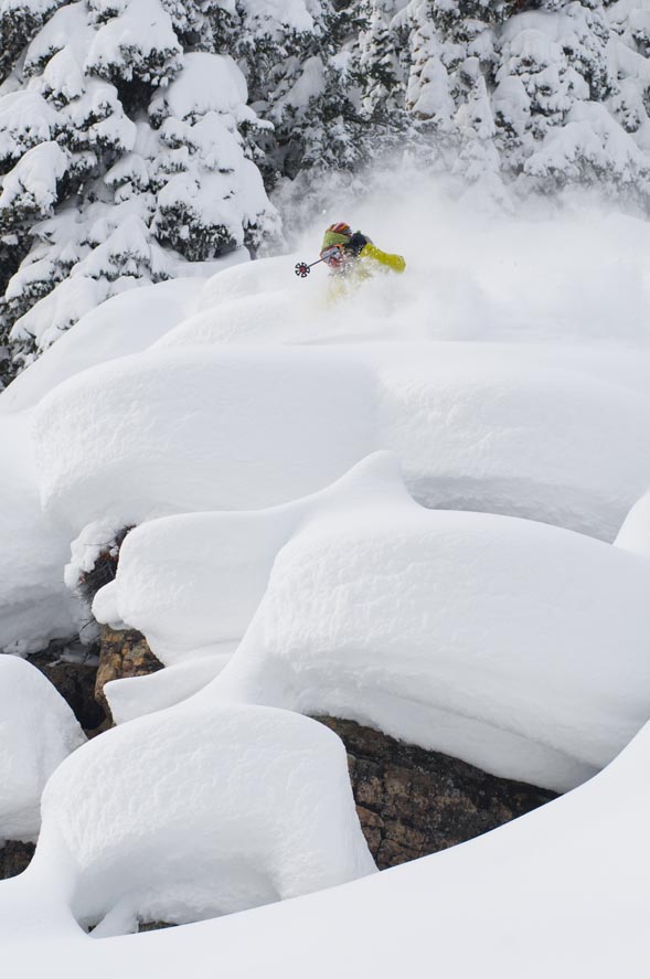
Expect 9 to 12 inches for the Monday morning report with larger totals on northwest-facing slopes.
Could be our first true powder day. Get those late for work excuses ready.
Enjoy!
![]() Comment on "Up to a foot of new snow expected for Vail Valley by Monday morning" using the form below
Comment on "Up to a foot of new snow expected for Vail Valley by Monday morning" using the form below


