Powder Predictor baby born during great powder week, with more expected ... snow that is
January 30, 2010 —
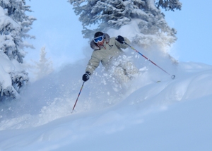
I have to apologize for the short hiatus as my wife and I welcomed our second child during a great powder week in the mountains.
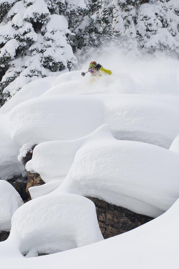
Vail saw over two feet of snow in the past seven days as the carousel of storms in the Pacific delivered the expected snowfall for all of Colorado. Beaver Creek saw low totals altogether, as is the norm for storms with northwest trajectories. However, with the typical El Ni�o weather we have seen over the past three months, ski towns everywhere will take what Mother Nature brings.
Our forecast for the weekend leading into February looks to be the same as the beginning of the new year. We have a good chance of snowfall Sunday into Monday (Jan. 31-Feb. 1) as a weakening system moves across Idaho and Wyoming, clipping the northern and central mountains with light snow. Above average temps are expected ahead of this system with temps dropping slightly as this storm moves into the Dakotas.
The first week of February we see weak high pressure build as the jet stream splits for some time. We should see some significant storms by mid-month, but for now, it looks like the northern and central Rockies will be under sunny skies.
Temps for the next week look mild with highs in the 20s and low 30s, and overnight lows in the teens and 20s. Winds will be mild except for the occasional gust as our next quick shot of snow hits Sunday and Monday (Jan. 31 and Feb. 1).
Look for Monday Feb. 1 to be a good day to ski as we should see anywhere from 4-8 inches on the ground by the Monday morning report.
Overall, we should see an average February for snow totals as the southwest will benefit the most from any storms moving in due to the split jet stream.
Enjoy!
![]() Comment on "Powder Predictor baby born during great powder week, with more expected ... snow that is" using the form below
Comment on "Powder Predictor baby born during great powder week, with more expected ... snow that is" using the form below


