Blam! Vail powder day brings springtime in the Rockies
March 19, 2010 —
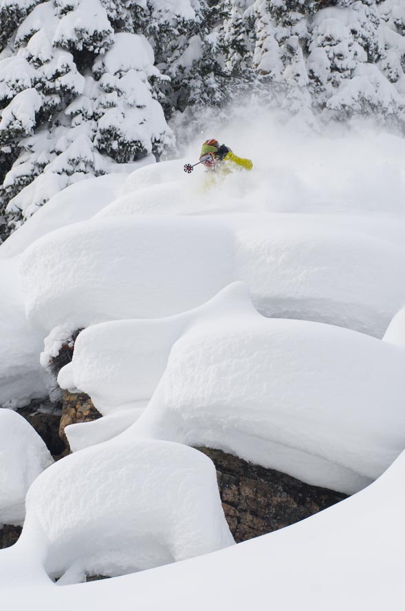
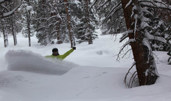
It’s happened again: warm weather has teased us into thinking spring is just around the corner then, BLAM! A cold winter storm moves into the mountains.
As of this morning, Friday March 19, Vail and Beaver Creek reported one inch of snow, but as I geared up my snow blower and cleared my driveway, another inch fell on top in just under 45 minutes. This gives me the sense that this storm is packing more of a punch than expected.
Snow will fall much of the day today and overnight into Saturday, March 20, as the last official day of winter should feel like winter. Expect morning totals for Saturday to range from 6-10 inches at both Vail and The Beav' with more deposited on the leeward slopes of the oncoming northwestern flow.
Saturday temps will be much colder than we have seen in some time with on mountain highs in the mid 20s and lows in the teens.
Winds will be out of the northwest at 15-20 mph with ridge top gusts into the 40 mph range. Skies will begin to clear mid-day Saturday with temps warming as a result.
Sunday March, 21 looks to be a great day on the hill as mostly sunny skies should persist through Tuesday March, 23.
Tuesday night into Wednesday we have another shot at snow, as springs arrival will bring winter like weather to the Western Slope. For now, enjoy at least one more good weekend on the hill as Saturday and Sunday should be eventful on and off the mountain.
Enjoy!
![]() 1 Comment on "Blam! Vail powder day brings springtime in the Rockies"
1 Comment on "Blam! Vail powder day brings springtime in the Rockies"
Bozzo — March 20, 2010
Smoke and mirrors?


