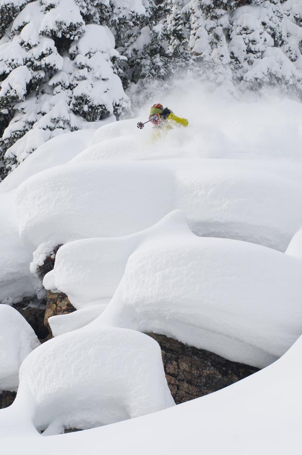
Photo by Jason Sumner
A-Basin’s Montezuma Bowl part II: My shot at the Darwin Awards
January 28, 2008 — I threw my hat in the ring for a Darwin Award last Friday. Probably won’t get one since I didn’t die, but there’s an outside chance for honorable mention.
The scene of the crime was Arapahoe Basin’s Montezuma Bowl. I was up there on Jan. 11 for its grand opening, but only about half the new terrain was open. When I saw last week that they’d dropped the rope on the rest of the 36 added runs, I figured I’d head back up and have a look.
After a quick warm-up on the front side, I rode to the top of Lenawee lift and dropped into the mountain’s new backside, starting down intermediate Larkspur, then dodging right and onto the black-diamond-rated Black Bear.
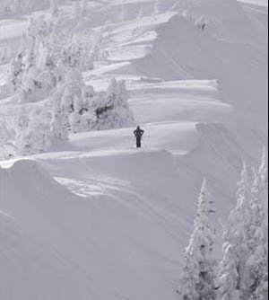
Black Bear marks what amounts to the eastern edge of Montezuma’s toughest terrain, a series of steep – and on this day rocky – chutes that funnel down to a long run-out that leads to the new Zuma lift.
Black Bear is the easiest option, while the rest of the runs are rated double black “extreme” and first require a short hike up to a small weather station that is directly above the lightly used Norway lift. Once at the top of the hike you can drop into Long Chute, or continue the easy westward traverse that takes you to the entrances of another half dozen options with names such as Max, Durrance and Jump.
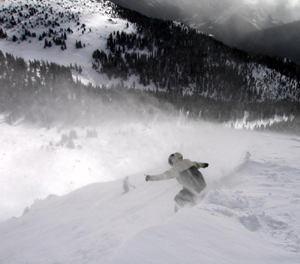
At the far side of the ridge you can either drop into precipitous End Zone, or take the more gladed Elephant’s Trunk. On my second run I opted for the former, carving a few quick turns in the choppy but soft snow, and then straight lining the bottom to keep momentum for the run out.
Moments later I was upon the three-way intersection of Larkspur, Eureka and Black Forest. Skier’s left Larkspur is the easiest option, providing a quick trip back to the Zuma lift. Advanced-rated Eureka does the same after a short tree run. Black Forest, on the other hand, is one of several “hike back” trails in the Montezuma Bowl, where after skiing down you end up below the Zuma chair, and according to the sign at the entrance gate, are faced with a “20-minute” hike back up to the lift.
Well, being that I was up there in part to provide a RealVail review of the new 400-acre terrain expansion, I decided to give hiking back a shot. I figured 20 minutes was probably a worst-case scenario aimed at lowlanders, and maybe I could get it done in 10. So I skied on, slaloming around trees, trying to find soft spots in what was some exceedingly crunchy snow.
About 10 turns later, I started looking for what I figured would be a well-marked traverse leading me skier’s left to the hike-back trail. At least that’s how it’d looked on the map, which I’d briefly consulted before making what turned out to be a fateful choice. With no obvious signs of the traverse point, which I assumed would be marked by a “Ski Area Boundary” rope, I skied on.
A few minutes later, I came to what I think in hindsight must have been the hike-back trail in question. But again I saw no markings, and an uphill ascent of this “trail” would have been a post-holing nightmare. I was expecting something more packed down like a snowmobile track. So on I went, tracing the lone pair of ski tracks that continued down the fall line.
Well, as you’ve surely guessed by now, I was expecting wrong, and after a few more turns it became clear that my next stop would be Montezuma Road, the popular exit point for backcountry skiers before the new lift went in. Only problem is that I’d never been to Montezuma Road before, so I had no idea how far away it was or how I was going to get back to A-Basin once I got there.
I was also completely unprepared for my little backcountry excursion – no beacon, no shovel, not even a cell phone.
The only thing I did have was that lone pair of ski tracks, which I followed on a zigzagging path through what had become increasingly tight trees. At that point I was navigating more than skiing, as I dodged left and right down the hill.
That’s also when I started getting a little nervous, doing the math about how I was alone, no one knew I was back there, and if I stacked it and snapped a ski (or worse) things would get ugly quick. Thankfully I kept full-on panic at bay and avoided snapping anything.
Finally I caught a glimpse of a moving truck below me, and a few minutes later I was standing on the side of Montezuma Road.
I’d barley had time to take a pee and pull off a layer when a small U.S.-made sedan came rolling by. I quickly threw out my thumb, and to my delight the car did a quick 180 and rolled back up next to me. The only problem is that what I’d hoped would be my ride back to Highway 6 and the A-Basin bus stop was packed with five 20-somethings out on a Colin McRae-inspired joy ride. No ski rack on top and no room inside for my lanky 6-foot-4 frame.
“We could tow you,” offered one of the rally kids.
It wasn’t exactly what I had in mind at this point, but with no idea when or if another option would come along, I figured it was time for my first career skijoring attempt. I passed my poles through the backseat window, grabbed onto the door jam, and gave a reluctant, “Go ahead.”
Now obviously this wasn’t the smartest idea in the world, and there were several times when I had to bellow a curt, “little more left please,” so I wouldn’t run into the snow bank. But the road was snow packed all the way back to the highway, and the car’s pull on my arms and shoulders was manageable. Ten minutes later I was thanking my friendly towers and walking the final 100 yards to the bus stop.
As for my review of Montezuma Bowl, I think I have to go back one more time before I pass final judgment. But I can tell you one thing: If you’re planning on “hiking back,” keep your eye out for the trail.
![]() Comment on "A-Basin’s Montezuma Bowl part II: My shot at the Darwin Awards" using the form below
Comment on "A-Basin’s Montezuma Bowl part II: My shot at the Darwin Awards" using the form below


