Courtesy of the National Weather Service
A quick break, then more snow
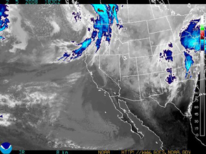
February 5, 2008 — A short lived break in the weather is upon us today (Tuesday) as we see sunny skies and cold temperatures.
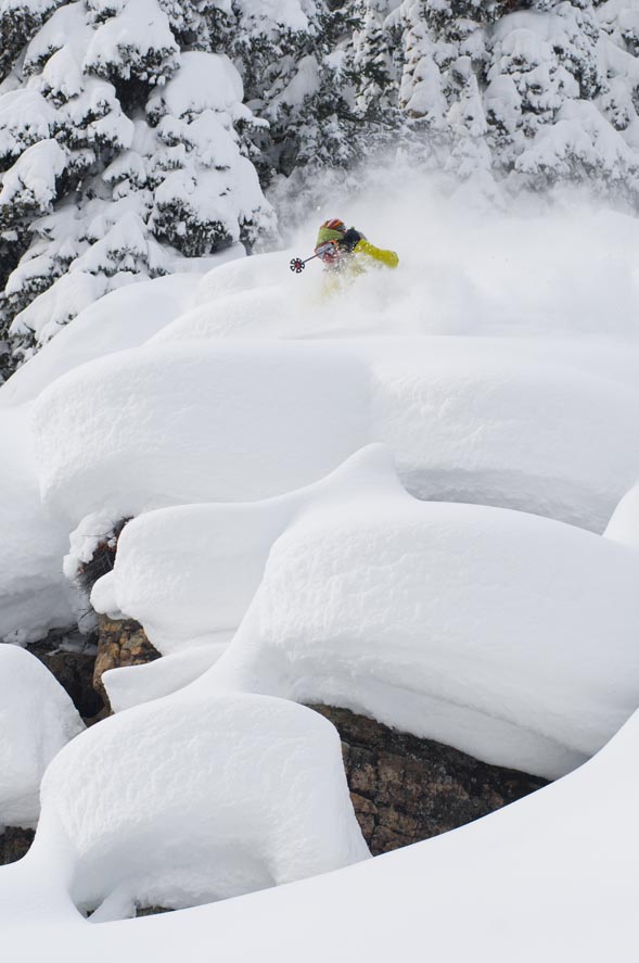
The past week of storms left us with great amounts of snow, ranging anywhere from 25-30 inches between Vail and the Beav.
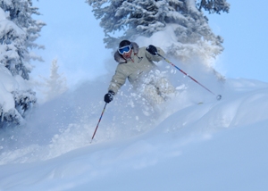
If you have not been on the mountain lately, get up there, it is great. Tracks are filled through and the tree skiing is outstanding. For our future we see a quick blast of snow move in from the northwest starting Wednesday afternoon and hanging around through the night-time hours. Forecasters are not looking for big accumulation out of this storm, (3-6 inches by Thursday) however, I believe we will see a bit more than that because of the wind.
We should see increasing winds with this system which should increase our chance for oragraphic snow showers through Thursday, ending by the evening. Temperatures will remain fairly mild as this system pushes east on Wednesday, with highs in the low 20s and lows in the single digits. Winds will increase Wednesday afternoon from the N.W. and range anywhere from 15-20 mph, with gusts in the 30s. This storm moves out by Thursday leaving us with partly cloudy skies and cooler temps. We have another shot of snow on Friday from the same origin (northwest), with light accumulation fore-casted. By Thursday morning we should see morning totals from 4-7 inches at Vail and 2-5 at the Beav.
We do have a chance of picking up another 2-4 inches during the day Thursday, if the winds stay active and there is enough left over moisture, we will watch. Friday, as I said, doesnt seem to be much of a news maker (1-3 inches total), however, stranger things have happened. As a side note, with all of the snow we have seen this past week, the avalanche danger in the back-country is an issue. According to the Colorado Avalanche Information Center (CAIC) the avalanche danger in our area is "considerable" on all aspects. Please make wise decisions if you plan to travel outside of the ski area boundary.
Ski Patrol Hot lines: Vail (970) 479-4652 Beaver Creek (970) 845-6652. Again, these are updated everyday at 8 a.m. I have posted a link below. Happy snow-riding!
![]() 3 Comments on "A quick break, then more snow"
3 Comments on "A quick break, then more snow"
Augie — February 5, 2008
Good information not just for skiers but for those of us looking to plan a snowshoe. I'll head out Wed. morning instead of afternoon to beat the wind and snow. Thanks!
SkiShucker4Life — February 5, 2008
Thank You Powder Predictor! Your powers of prediction beg the question if you are not, in fact, the reincarnation of Shred The-Gnar-Pow, himself!!!
![]() Submit and read more comments on "A quick break, then more snow" now!
Submit and read more comments on "A quick break, then more snow" now!
A thunder snowstorm could be on its way
February 3, 2008 —
Good day to all, hope all of you locals have had the chance to ski these last few days: it's been great.
Vail has already seen 19 inches in the last 72 hours.
And if that's not enough, the N.W.S. has posted a "snow and blowing snow advisory" for our area until Monday evening. The forecast for the next 48-72
hours looks promising for more powder days.
As of this morning Vail reported 3 inches in the last 24 hours and the Beav' reported five. A slow moving and wet storm system looms to our west, with showers beginning after the noon hour. Utah is seeing a good amount of snow, (Brighton 12 inches and Deer Valley 10). So we can expect a good dumping of snow.
This system will impact the S.W. before moving north into our area, and finally hitting Steamboat. As I said, this storm seems to be moving slower than what we have seen the last few days, so the duration of moderate snowfall should last well into Monday evening.
Temperatures will remain cold for most of the region, ranging from single digits on the mountain during the day and just below freezing overnight. Winds will increase as the low passes through, most likely this evening.
We could see gusts in the 40 mph range at times, with N.W. winds in the 20 mph range. The forecast from earlier in the week looks correct as we should see snowfall from this storm over a foot by Tuesday morning.
Also, Vail Ski Patrol's weather hot-line (970) 479-4652 reports that we could also see some THUNDER with this system as it moves through. It will be interesting to watch this storm progress over the next 24 hours, as thunder snow showers can bring large amounts of snow in a very short time (an inch per hour is possible).
Enjoy the snow over the next couple of days, it should be another great start to the week for those lucky enough to have weekdays off.
Happy snow-riding!
![]() Submit a comment on "A thunder snowstorm could be on its way"
Submit a comment on "A thunder snowstorm could be on its way"
Courtesy of the National Weather Service
Over 20 inches of snow in five-day forecast
January 30, 2008 —
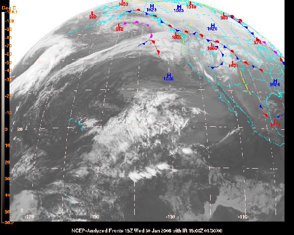
Unstable weather will be with us for the next five days as we are in line with a N.W. jet stream and an active Pacific/Alaskan storm pattern. We see snow showers ending tonight (Wednesday) and a very cold Thursday with partly cloudy skies. This is short lived as we then receive our next shot at accumulating snow beginning Thursday evening and continuing into Friday.
Accumulations should range anywhere from 4-8 inches by Friday morning at both Vail and the Beav'. Another system moves in right on the heels Friday midday with more snow for the resorts along I-70.
Saturday and Sunday look to be the same as the wave of weather ends by Monday afternoon. All in all this is what we love to see in the mountains; quick shots of moderate accumulating snow to fill in the tracks that we skied the day before. With cold fronts stacking up one after another, we should see the temps each day in the teens on the hill. Temperatures will drop into the single digits overnight, along with gusty winds as front after front moves through. Wind chills will be cold (-15 to -5). By Tuesday morning we could see five day totals ranging anywhere from 22-36 inches.
Daily totals should range from 3-7 each day, with locally higher amounts on N.W. facing slopes. Keep in mind that the wind will move the snow around, so we could very well see pockets of deep snow followed by sheer ice. We will keep watch as the week moves on, but for now, it looks like we are in a snow-riders Heaven for the remainder of the week. What a way to start out the beginning of February.
![]() 2 Comments on "Over 20 inches of snow in five-day forecast"
2 Comments on "Over 20 inches of snow in five-day forecast"
bobby goshorn — February 4, 2008
how much snow fell in Jan.?
Reid Griebling — February 5, 2008
Hi Bobby, thanks for reading the blog and for the feed back. We had an outstanding January here in the valley. Vail reports 98 inches in Jan. and the Beav' reports 93". Both are measured at Mid-mountain. Hope this helps, keep reading. Reid
![]() Submit and read more comments on "Over 20 inches of snow in five-day forecast" now!
Submit and read more comments on "Over 20 inches of snow in five-day forecast" now!
Satellite image courtesy of the National Weather Service
Locals rejoice the next powder days will also be weekdays
January 27, 2008 — Moist, cold, and windy - this is what we can expect later on tonight through Tuesday morning. Once again the western half of the country is buckling down for unsettled weather for the next 48 hours.
Sorry Front Rangers, but the next powder days will be Monday and Tuesday. We have two different systems that will bring heavy amounts of snow to the region through early Tuesday morning. The first system will enter this evening (Sunday) and impact the southwestern part of the state. The second front will move into the state early Monday, directly on the heels of the first system.
This system will make its way from the north and impact the Northern and Central mountains. High winds and moderate snowfall will persist through Monday night in our valley bringing significant snowfall. Temperatures will be fairly mild with this storm as the origin of the moisture is from the south (tropical).
This system will make its way from the north and impact the Northern and Central mountains. High winds and moderate snowfall will persist through Monday night in our valley bringing significant snowfall. Temperatures will be fairly mild with this storm as the origin of the moisture is from the south (tropical).
Expect temps to be in the low 20s on the hill and near 30 degrees at the base. Winds will be strong at times with gusts up to 40 mph. Winds on the hill will range from 10-20 mph throughout the day Monday. Snow totals will range from 4-7 inches by Monday morning and storm totals ranging from 8-16 inches by Tuesday morning. With winds blowing from the west and southwest, heavy snow could accumulate in Vail's Back Bowls making for a great powder day.
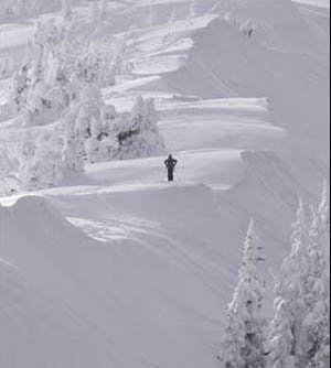
Areas like Windows, Widges, and Seldom could be epic.
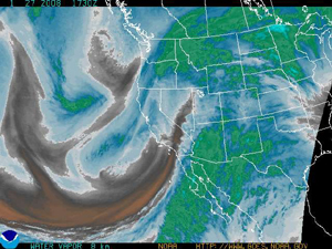
Along with the Back Bowls, leeward sides of the mountain could see some deep, wind-loaded stashes accumulate as well. Don't forget about the Northeast Bowl on powder days, it can be amazing. I have added a link below from the National Weather Service that shows the water vapor of this storm. Please look at the KEY on the bottom right of the map, this will show you the moisture content of the storm: incredible!
Happy snow-riding, and remember, breathe out when the snow hits you in the face and breathe in when you transition from your turn.
http://www.weather.gov/sat_tab.php?image=wv
![]() Submit a comment on "Locals rejoice the next powder days will also be weekdays"
Submit a comment on "Locals rejoice the next powder days will also be weekdays"


